Category Archives: counter cartographies

What has 3Cs been up to?

As we’ve become more dispersed geographically, now spanning three continents, and temporally, with different rhythms of everyday life and precarity and different care and community responsibilities, we often find it hard to work together on big projects. But our collective thinking still informs work that we are all doing and we continue writing and theorizing about maps and counter-maps, precarity, migration, care, and militant research, among other things…

Continue reading

3Cs at the Autonomous Geographies Encounter in Ecuador

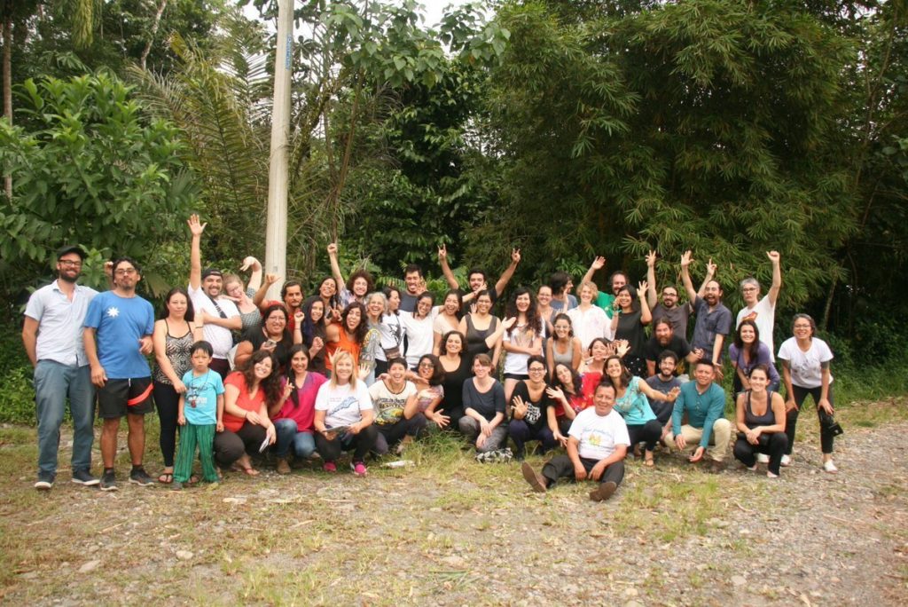
3Cs was honored to participate in the Encuentro de Geografías Críticas y Autónomas [Critical and Autonomous Geographies Encounter] in Ecuador earlier this year. There we were introduced to a vibrant autonomous geography and cartography movement from across Latin America.

We were hosted by the Critical Geography Collective of Ecuador, which has produced an impressive range of maps with different social movements across Ecuador (related to mining, indigenous land struggles, violence against women, and many other crucial struggles) and a number of pamphlets on critical geography and mapping. (For more about the Collective in English, see their entry in This Is Not An Atlas).

Continue reading

A Community Map of Miles Platting

Liz from 3Cs recently participated in a the Community Mapping of Miles Platting in Manchester in collaboration with the University of Sheffield Urban Institute’s “Whose Knowledge Matters?” Project and the Manchester Community Grocer. The process involved a series of workshops with residents of the neighborhood of Miles Platting about how urban redevelopment projects are shaping their neighborhood and the lasting impacts of austerity. The map is currently on display at the Manchester Central Library as part of the Manchester Histories Festival. Here she shares a few reflections from her experience:

1) Mapping functions as collective research. Making the Community Map of Miles Platting functioned as a form of collective research in various ways. First, it allowed different residents to share the knowledge they already have based on their everyday life and experiences living in Miles Platting. Of course these experiences differ, based on how long people had lived in the neighborhood, their age, gender, race, ethnicity, education level, whether they have children or sick or elderly residents to care for, etc. etc. The first workshop served as a space to share those experiences, without attempting to come up with one dominant narrative, and then to identify common themes and concerns that would then serve as the basis for the icon-stickers we used in the following workshops. Second, the mapping also allowed us to identify new questions and things that were unknown: Who owns that plot of land? What are they building there? What will happen to that abandoned building? Where is the new park they promised us? Identifying these questions served as the basis for further research and also allowed us to question why it was that neighborhood residents didn’t have access to this information. Why, despite promises of consultation and participatory planning processes, were residents not only being left out of decision-making processes, but also not even able to access information about what was going on? Thus we decided to use blue stickers to indicate all of these “mystery spaces” on the map.

Continue reading

What does a Critical Data Studies look like, and why do we care? Seven points for a critical approach to ‘Big Data’

From co-authors Craig Dalton and Jim Thatcher

How do we approach ‘big data’ critically?  What is to be done with ‘big data’?

There is a need for a critical data studies

As the public discourse around data turns from hubristic claims to existing, empirical results, it’s become nearly as easy to bash ‘big data’ as to hype it (Carr 2014; Marcus and Davis 2014; Harford 2014; Podesta 2014). Geographers are intimately involved with this recent rise of data. Most digital information now contains some spatial component (Hahmann and Burghardt 2013) and geographers are contributing tools (Haklay and Weber 2008), maps (Zook and Poorthius 2014), and methods (Tsou et al. 2014) to the rising tide of quantification. Critiques of ‘big data’ thus far offer keen insight and acerbic wit, but remain piecemeal and disconnected. ‘Big data’s’ successes or failures as a tool are judged (K.N.C. 2014), or it is examined from a specific perspective, such as its role in surveillance (Crampton et al. 2014). Recently, voices in critical geography have raised the call for a systemic approach to data criticisms, a critical data studies (Dalton and Thatcher 2014; Graham 2014; Kitchin 2014). This post presents seven key provocations we see as drivers of a comprehensive critique of the new regimes of data, ‘big’ or not. We focus on why a critical approach is needed, what it may offer, and some idea of what it could look like.

The rest is over at the Society and Space open site (from Environment and Planning D)

critical_data_studies

Mapping Shared Imaginaries for Anti-capitalist Movements: an Interview with Tim Stallmann of the Counter-Cartographies Collective

Tim interviewed by Class War University
Originally published here

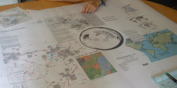
Summary:  Tim shares his experiences of militant research with university workers and students, making disOrientation Guides, and the importance of starting from your own position for building solidarity.  Reflecting on the Queen Mary Counter/mapping project and community-based cartography, he discusses the challenges of map-making collectively, as well as the benefits of the process for building a plane of commonality for struggles.  Against the individualizing and recuperative functions of academia, he shares some thoughts on how we can better traverse the tensions our movements face across the boundaries of universities and communities.

Continue reading