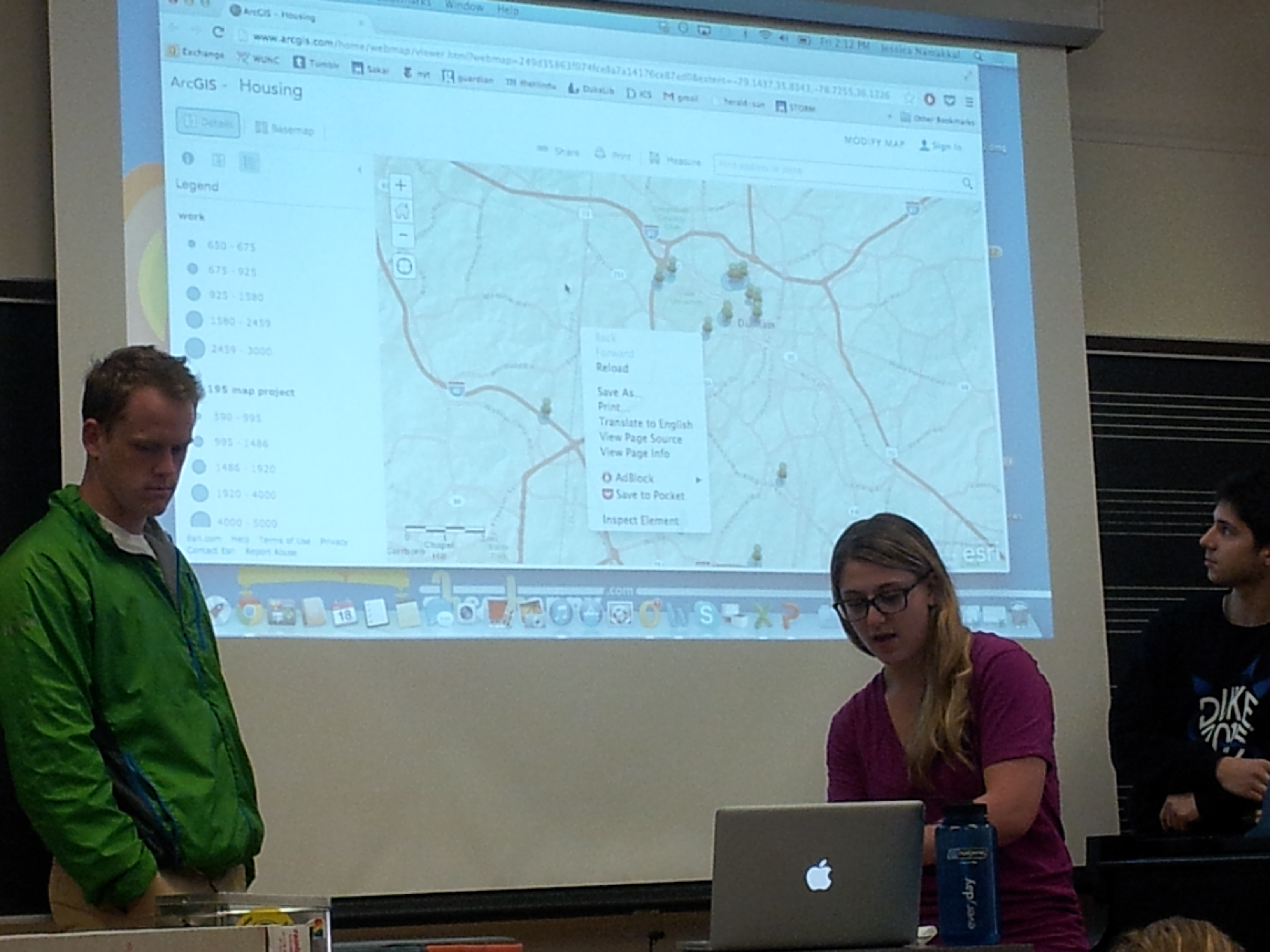
3Cs was invited to guest lecture/prepare a mapping activity for the Comparative Approaches to Global Issues course at Duke in April. After lecturing about countermapping in general and going over how to use some simple web mapping tools, students were divided into groups to research specific questions about Duke and make their own maps. Read more about the activity we prepared and see pictures below!
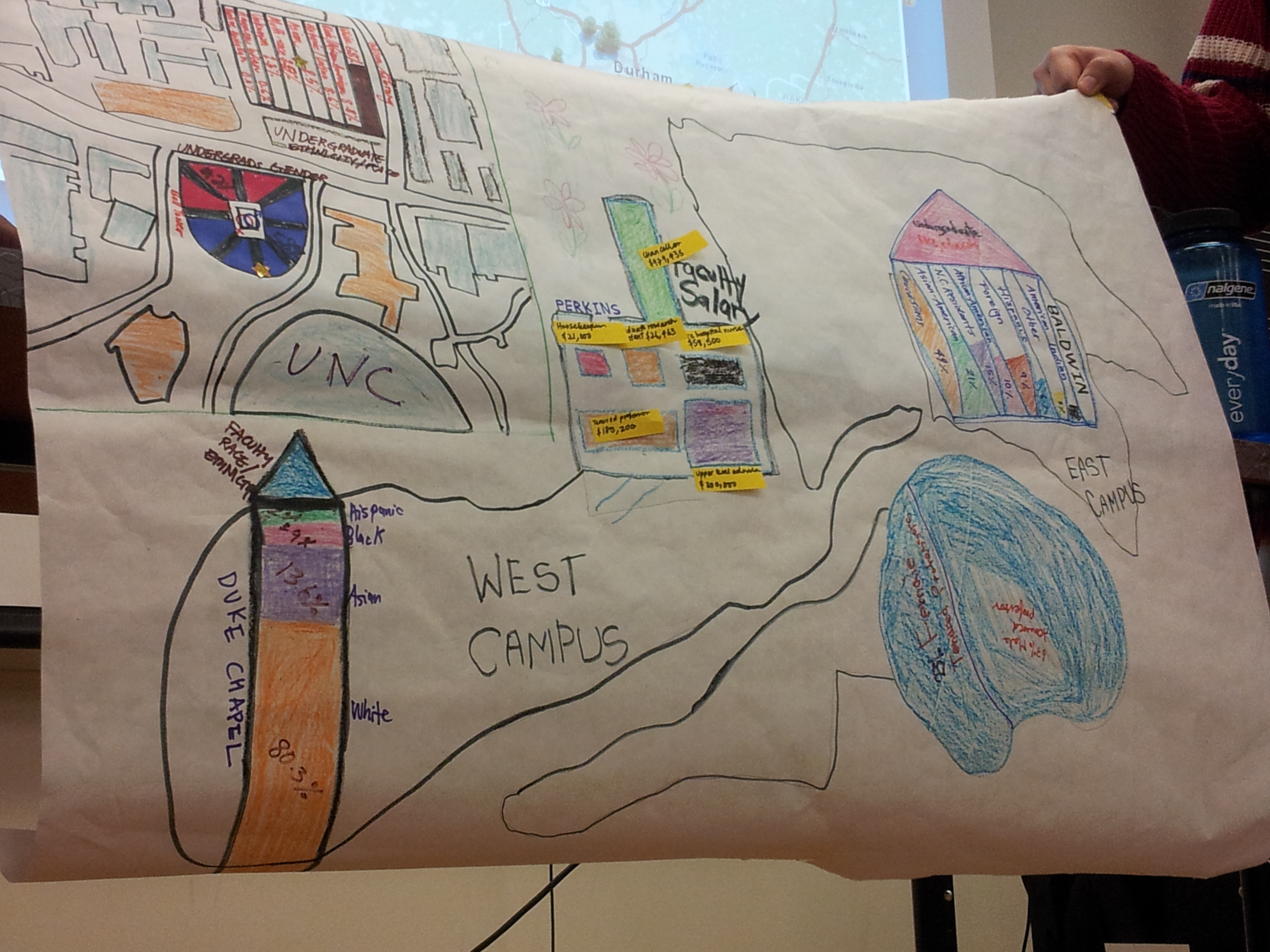
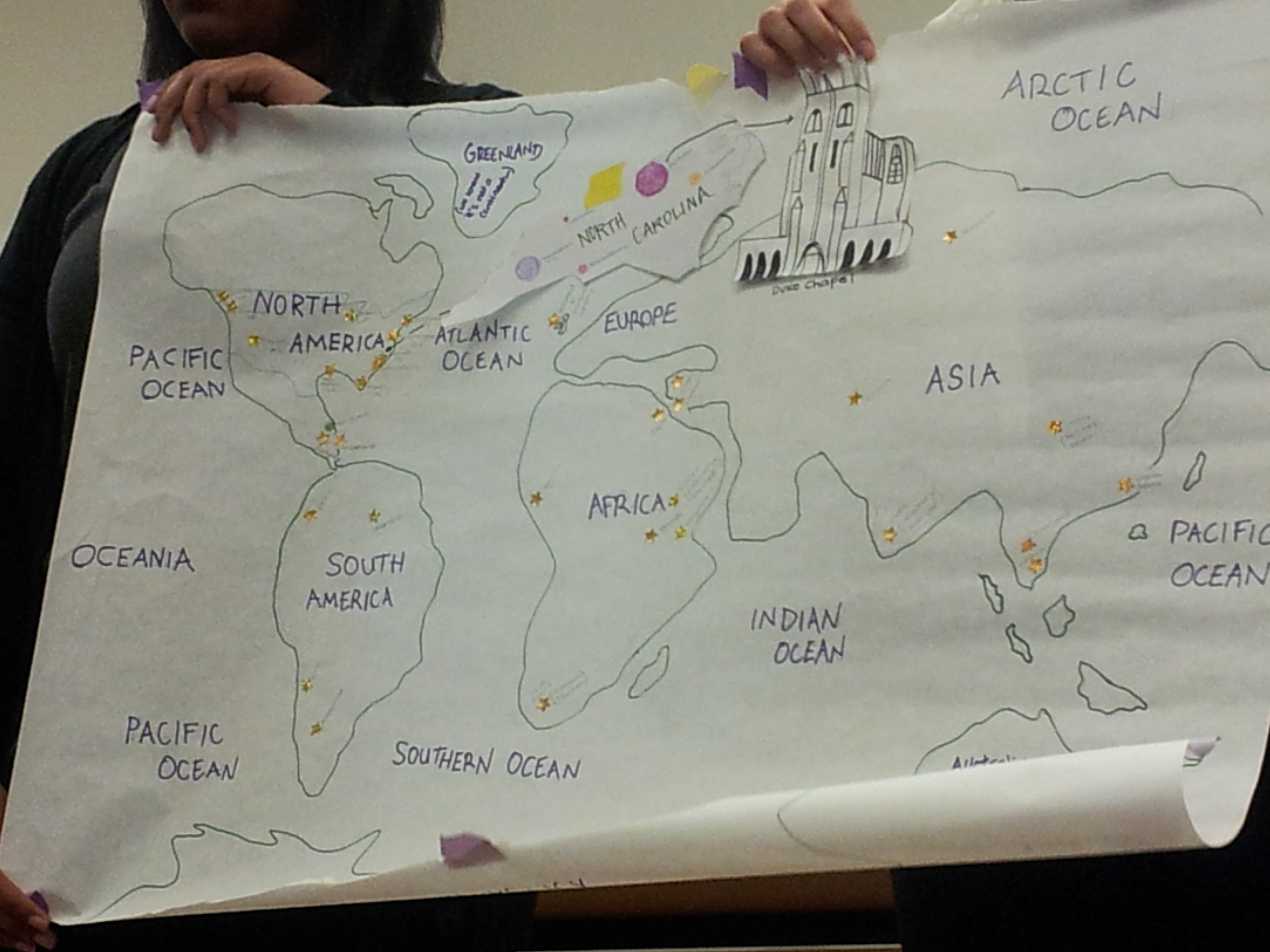
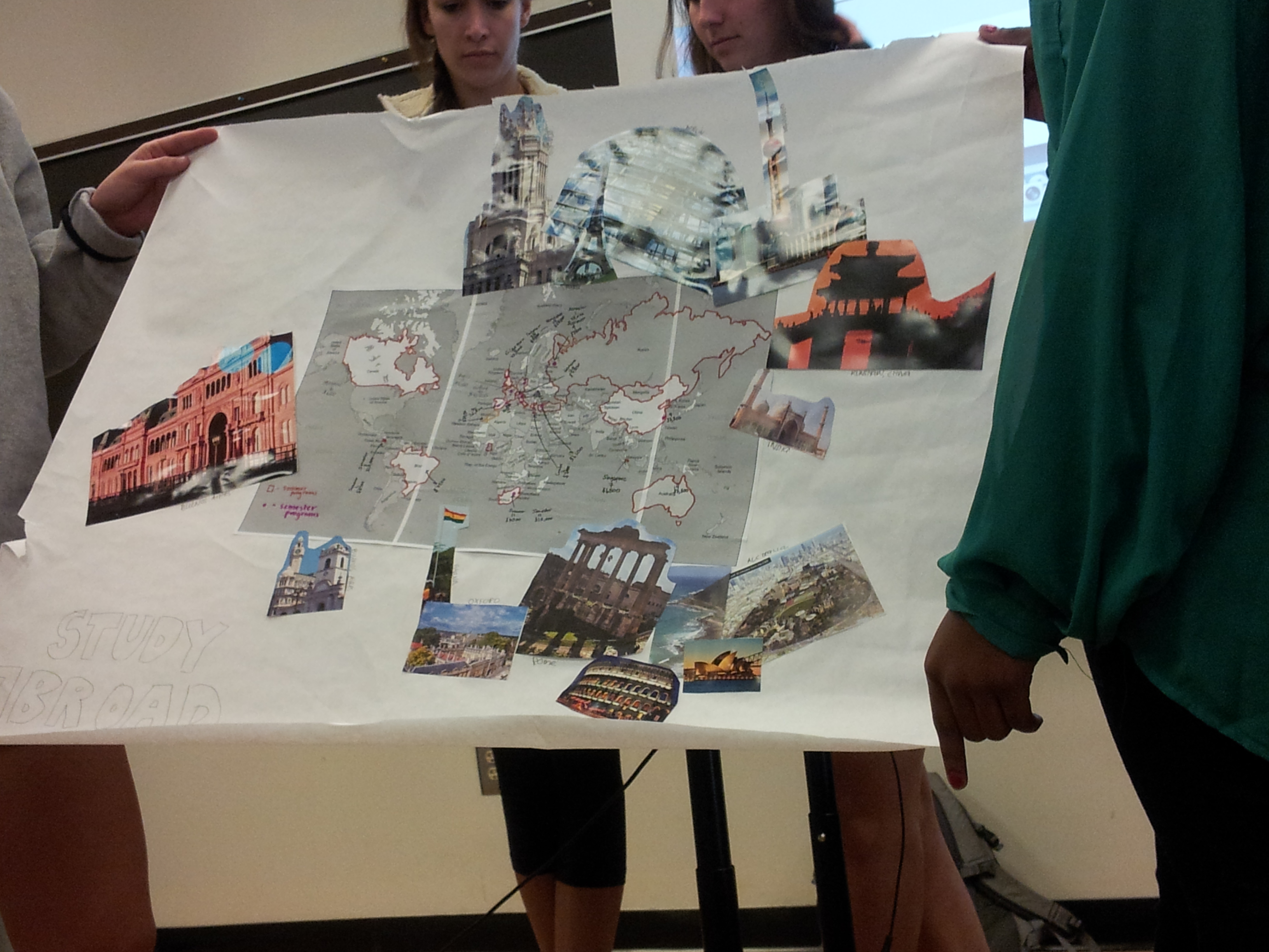
Where is Duke? While Duke’s campus may seem to have clearly delimited spatial boundaries, Duke’s influence extends well beyond these limits: Duke’s students and employees live throughout Durham with consequent effects on the urban landscape, students travel, volunteer and study abroad around the world, Duke partners with a wide range of businesses taking part in different commodity chains.
This activity is designed to explore and map out the different practices and institutions that make up Duke and Duke’s connections and effects on its local as well as global surroundings. There are seven themes each addressing a specific aspect of these overarching questions. Each group will be assigned one of these themes and will be responsible for gathering data on their topic by using all or some of the research methodologies described in detail under each theme.
Students divided into groups to make maps about one of the following themes: 1) Housing; 2) Socializing; 3) Volunteer work & charity; 4) Study abroad; 5) Where is Duke?; 6) Who works for Duke?; and, 7) History of campus struggles.
See the full prompt here